")
")
")
")
")
")
Here are 23 picture impressions on Facebook.
- description
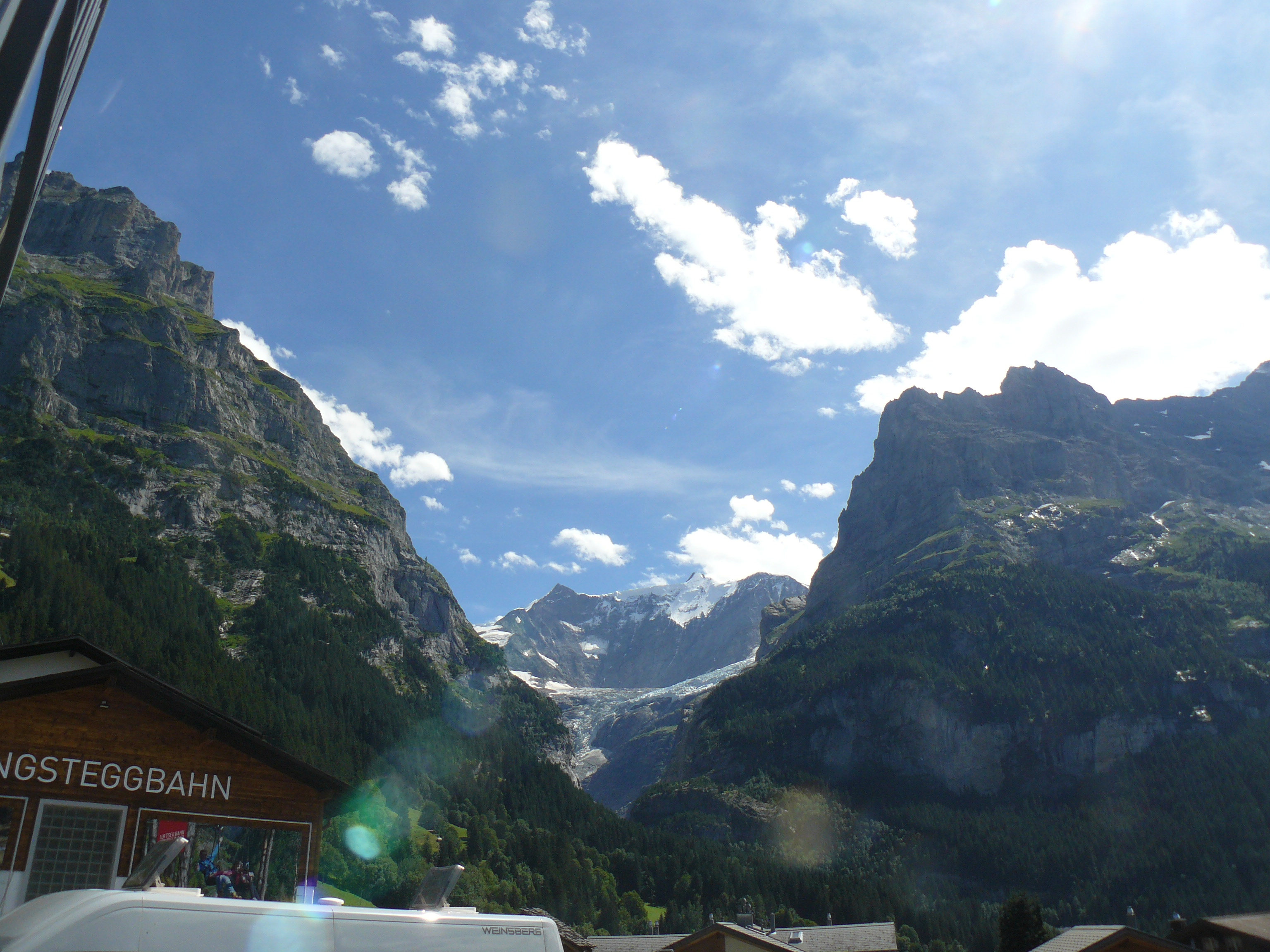
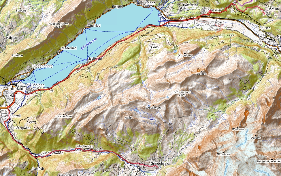
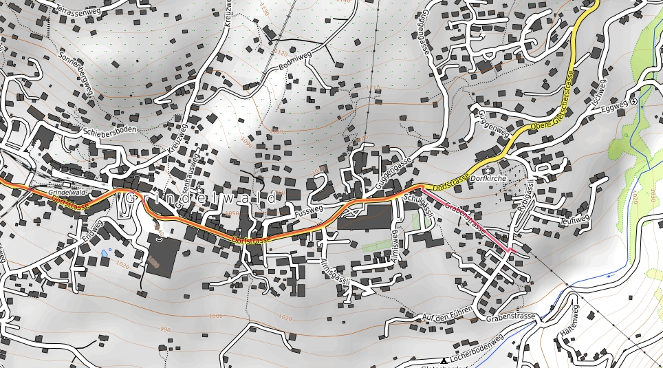
The path to Grindelwald / Pfingsteggbahn is 49 km long and runs from our Hotel Bellevue Hohfluh Hasliberg over the Brünig Pass towards Interlaken on the A8 to the "Wilderswil" exit, then towards Grindelwald. There follow the main street until you see the sign " Pfingsteggbahn ". There are some parking spaces for cars there. Please watch out for the large numbers of tourists, some of whom wander around the streets of Grindelwald, endangering traffic.
An official home page of the Pfingsteggbahn can be found here.
With the Pfingsteggbahn you can then comfortably go to Pfingstegg (1392 meters above sea level). There we went on a hiking trail that leads to the Bäregghütte (1775 meters above sea level). This is a wonderful way into the middle of the grandiose mountains of Grindelwald. Unfortunately, this former glacier world is melting away pretty much. There were even large debris flows, so that the former Stieregghütte slipped. Due to time constraints, we only hiked as far as Wyssefluh (1386 meters above sea level) in a simple 600-meter path. Until then, the tour is also flat. For the entire route to the Bäregghütte, please prepare for a full-day excursion. Even the journey takes a lot of time.
- Road map
- Detailed map of the car park in Grindelwald at the valley station of the Pfingsteggbahn
- Hiking map Pfingstegg to Wyssefluh
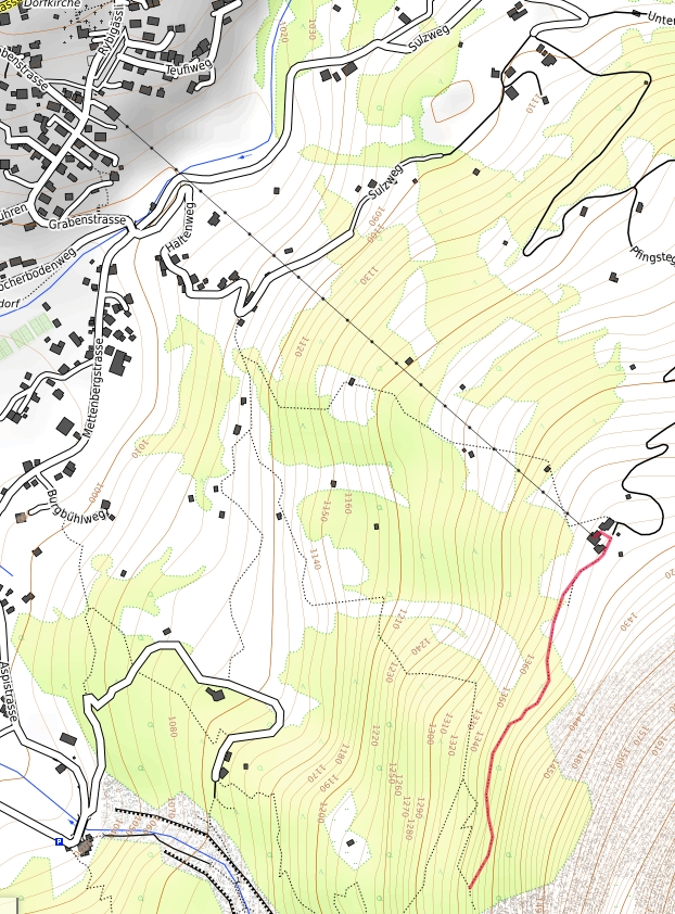
All maps with their own GPX file as an overlay from https://opentopomap.org/ under the copyright © OpenStreetMap contributors www.openstreetmap.org/copyright :