")
")
")
")
")
")
Here are 23 picture impressions on Facebook.
- description
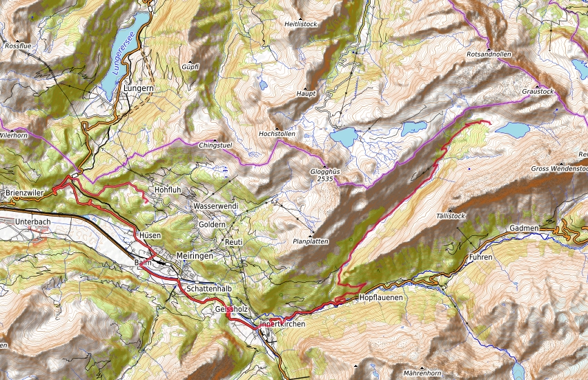
Length by car 36.2 km one way. Here you go by car from the Hotel Bellevue Hohfluh Hasliberg over the Brünig Pass, Meiringen, Innertkirchen in the direction of the Susten Pass. Shortly after Innertkirchen or between Schwendi and Hopflauenen, however, you turn left onto a toll road to Engstlenalp, which is very, very narrow. It is advisable to open the window to hear the horn of oncoming cars and always plan from passing point to passing point! In addition, you sometimes get in the way with the oncoming Postbus! So take care. From a distance you can hear the horn fanfare of the post bus, which I jokingly called the "alphorn".
A tip for all tourists: please take a timetable for the Bernese Oberland with you, e.g. B. from the train station in Meiringen, on which the travel times of the post bus are recorded. Please only drive if there is currently no post bus coming in the opposite direction. The only difficult thing is the road in the forest from the junction of the Sustenpass road to the toll booth at the beginning of the Gental.
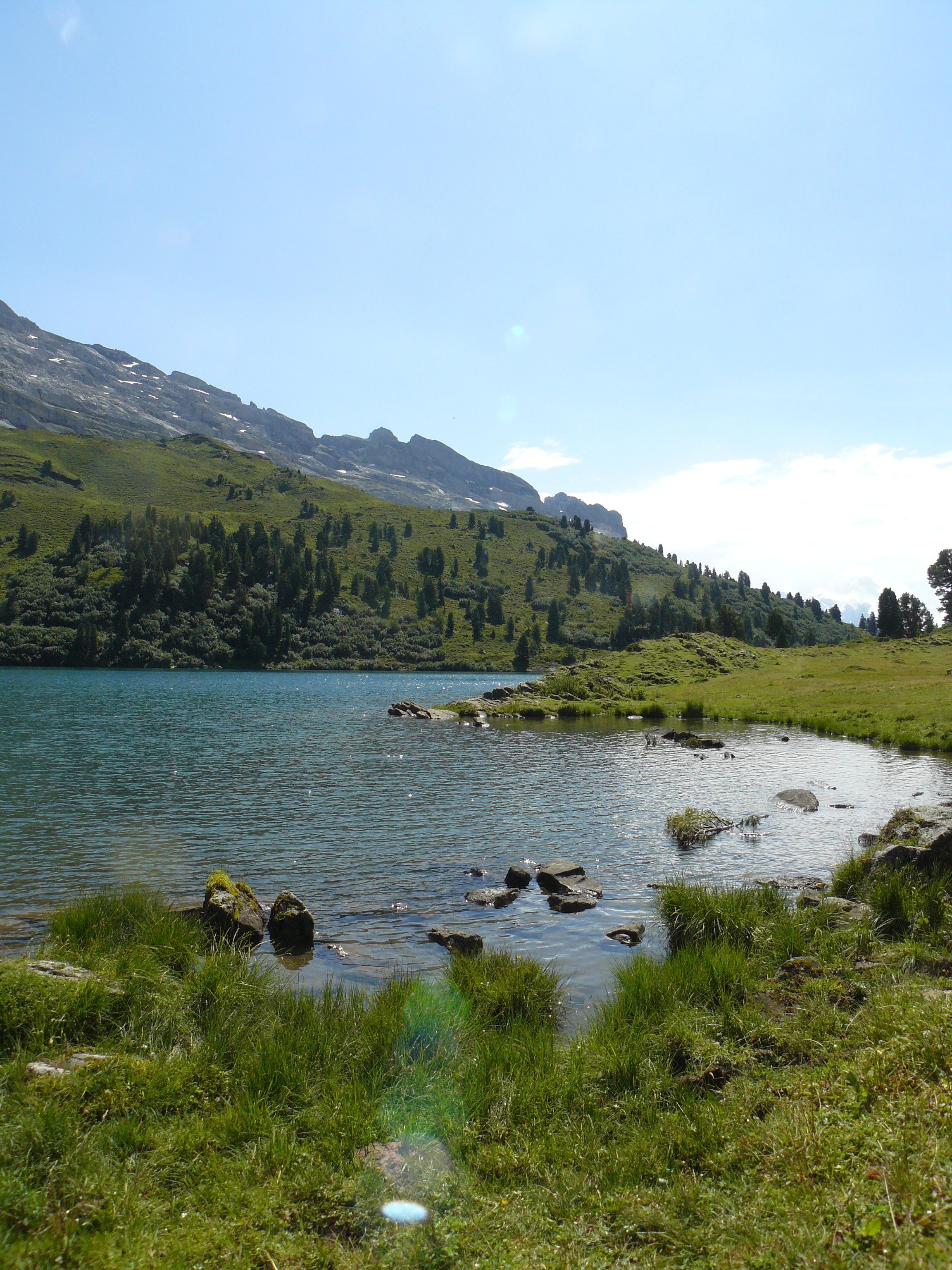
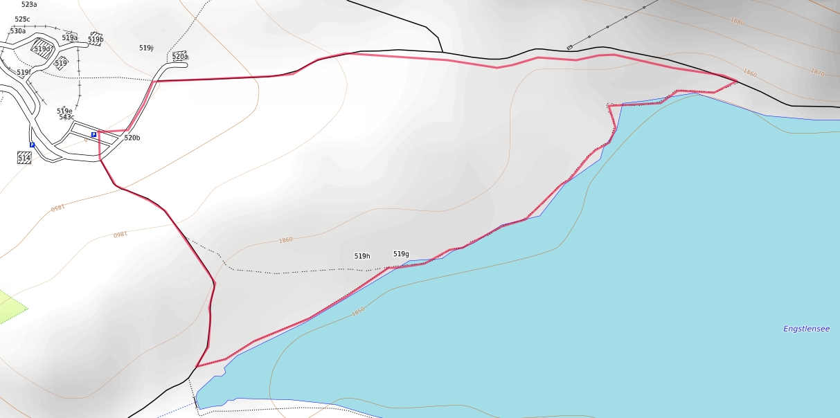
The journey goes to the end on the Engstlenalp with the beautiful Engstlensee with very old Swiss stone pine trees.
Incidentally, Meiringen in Hasliberg / Haslital is referred to as a five-star for the directions of travel: Brienzer See, Grosse Scheidegg, Grimsel Pass, Susten Pass and the Gental with the Joch Pass to Engelberg. In Engstlenalp, however, the car tour is over and done with. The Jochpass can only be reached by hiker in summer.
Our hike is very scenic. The crocus meadows bloom in the mountain spring. From here you can continue hiking either to the Jochpass or to Tannalp and Melchsee-Frutt. A special highlight is the tour from Meiringen to Engstlenalp by bus, then the hike on the Horizonteweg Engstlenalp to Planplatten. A link to it is here.
This year this trip to Engstlensee was enough for us and brought us a wonderful experience in this wonderful mountain world.
- Road map
- hiking map
All maps with their own GPX file as an overlay from https://opentopomap.org/ under the copyright © OpenStreetMap contributors www.openstreetmap.org/copyright :